FaCeT
Tracking Vessel Responses
Changes in water temperatures due to both episodic warming events and long-term changes in ocean temperature have significant impacts on fishing fleets.
These temperature changes have been linked to mass fish mortalities and strandings, shifts in species distributions, and alterations to ecosystem structure and function. In turn, these can cause shifts in fishing grounds, altered vessel distributions, and reduced fishery yields.
Marine Heatwaves
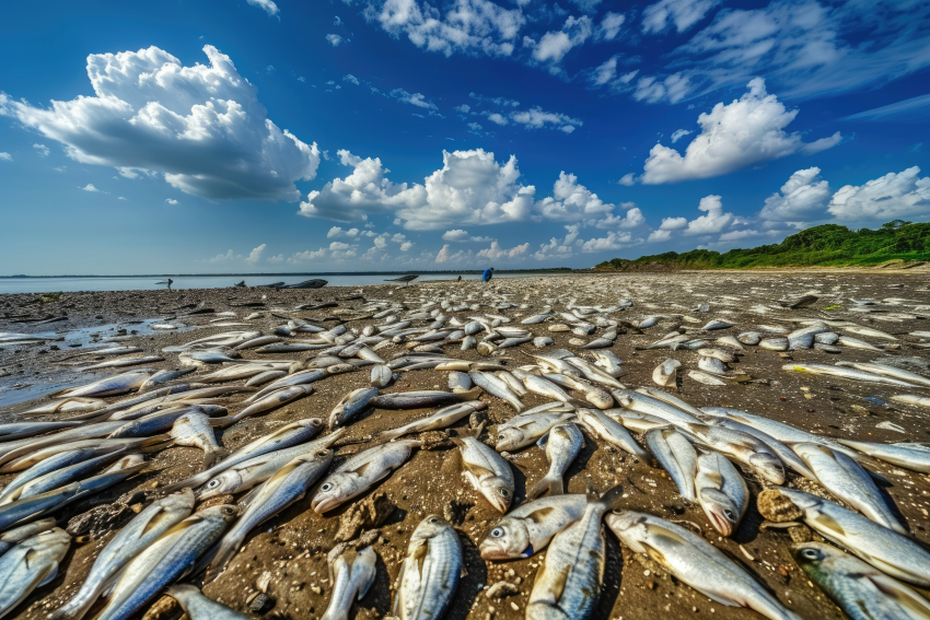
MHWs are short-term extreme warming events, typically reported as deviations or anomalies from average temperatures. MHWs occur globally and are linked to disruptive ecological and economic changes.
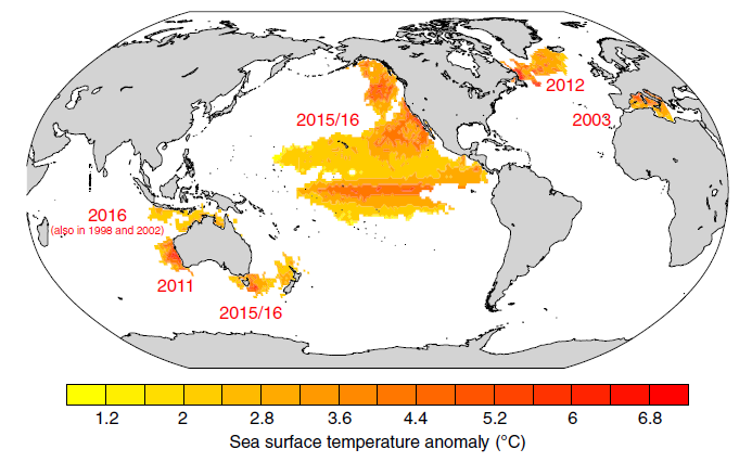
Each MHW is different
MHW events vary in intensity, spatial extent, and duration as they are driven by a range of complex oceanographic and atmospheric processes. This diversity in MHWs means that any single MHW can yield a range of impacts on marine ecosystems across the footprint of a fishery.
 Open the image full screen.
Predicting Fleet Responses
To better understand how MHWs have already impacted US fisheries, FaCeT used vessel tracking data from Global Fishing Watch to model how an economically important US fishing fleet, the pelagic longline fleet in the Northwest Atlantic, has been affected by MHW events.
FaCeT tracks two metrics of fleet responses to MHWs. One is change in suitable fishing grounds, which describes how productive an area is likely to be for vessels for each fishery. The other is shifts in fleet distribution, which describes how vessel spatial distributions respond to changing conditions.
Preparing pelagic fleets
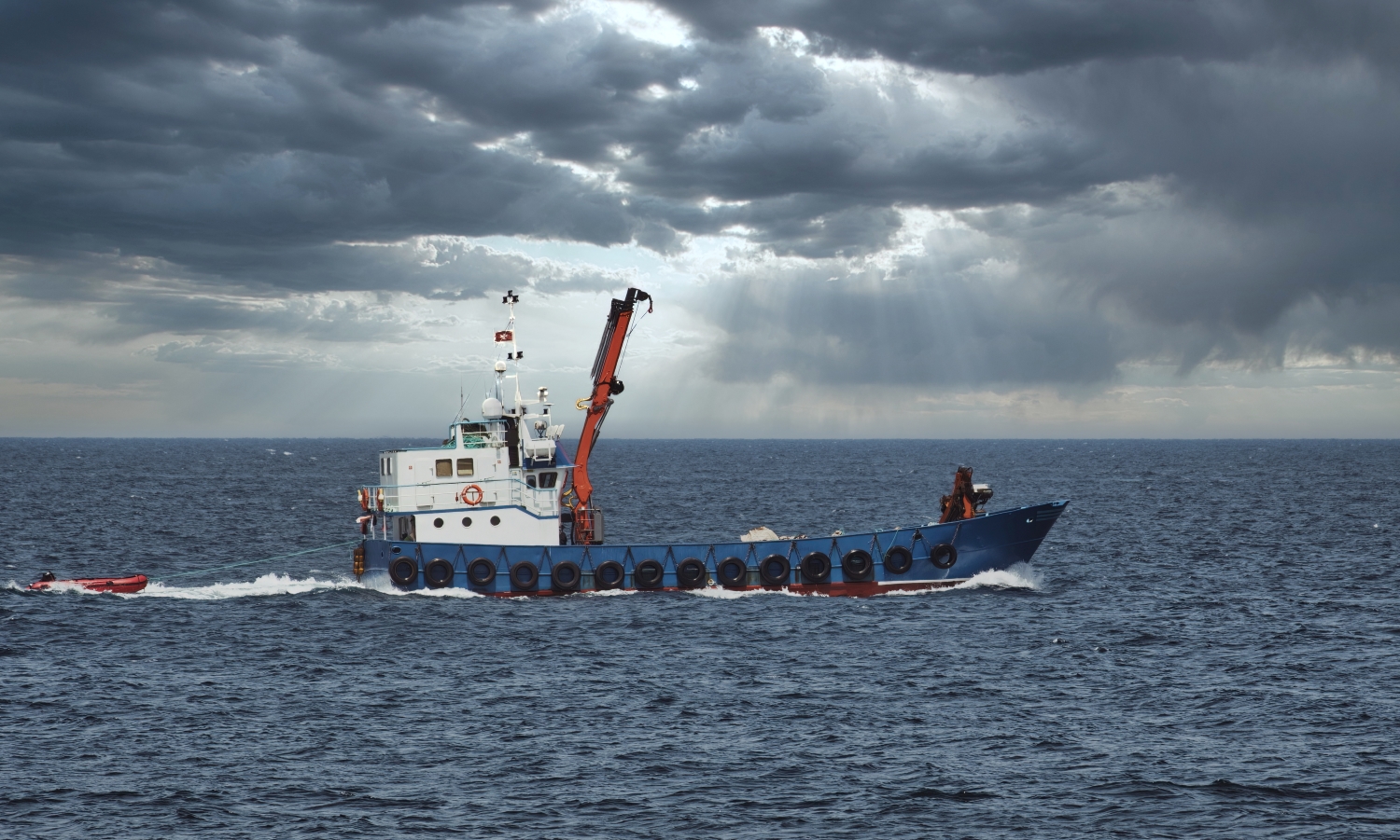
For example, some of our research investigated how three MHW properties—intensity, size, and duration—influence core fishing grounds and fleet displacement for the US Atlantic longline and Pacific troll fleets. For both fleets, MHW size had the largest influence on fishing ground area, with northern fishing grounds gaining area and southern fishing grounds decreasing in area.
However, fleet displacement in response to MHWs varied between coasts. The Atlantic longline fleet displaced the most in southern regions, whereas both the most northern and most southern regions shifted farthest for the Pacific troll fleet. These findings are important because characterizing fishing fleet responses to these anomalous conditions can help identify regional vulnerabilities under future extreme events and aid in supporting climate readiness and resilience in pelagic fisheries.
To learn more, visit Farchadi et al. (2024).

